Plone Google Maps (qPloneGoogleMaps) is a Google Maps view product for the Plone content management system which enables integration of Google Maps into Plone sites.
Features
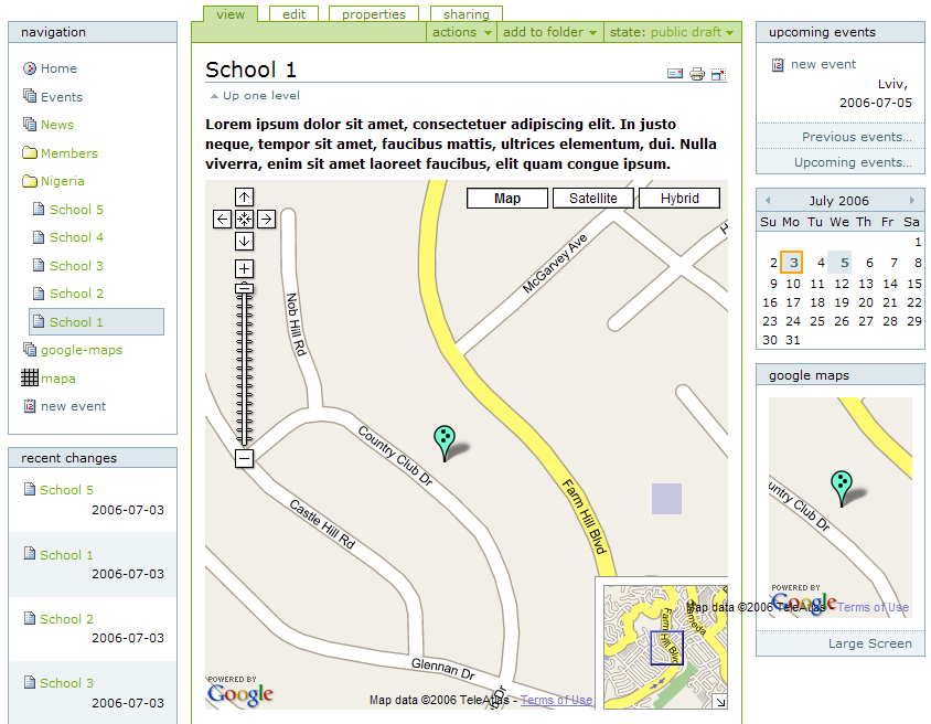
- Due to qPloneGoogleMaps you can set up the latitude and longitude of your site objects and have their maps exhibited on your site.
- Any object with the latitude-longitude has an additional map portlet displaying this object. This portlet, in turn, has a template "Large screen". If you click the large screen below the portlet, you will be able to see the full-size map of the page with its description.
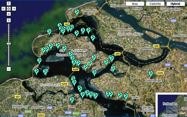
- The folders containing objects with the latitude-longitude parameters have an additional display view - "maps view", which gives an opportunity to see the full-size map with all these objects.
- There is a new content type "Map" which can have other content types - "overlays". It enables the positioning of different objects on one map showing them with the markers of different colours.
Installation
- Install qPloneGoogleMaps and geolocation as Zope products
- Install these two products in your Plone instance with Quick Installer (Plone Control Panel ->Add/remove Products)
Supported Plone Versions
Plone 2.5
Authors
- Myroslav Opyr
- Vitaliy Podoba
- Mykola Kharechko
Links
- Get the latest development version from SVN repository
- Read Documentation
- Post feedback about product in TalkQuintagroup Plone Forums
- See Example map